Quick Answer: A land survey shows your property's exact boundaries, acreage, easements, and physical features using standardized symbols and measurements. The most important elements to understand are: boundary lines (bold solid lines), iron pins/monuments (physical markers at corners), easements (dashed lines with labels), metes and bounds descriptions (compass bearings and distances), and the scale bar. A professional survey costs $500-$2,500 for vacant land and is one of the most important documents in any land purchase.
Why You Need a Survey
A survey is the only legal document that definitively shows your property boundaries. County tax maps and GIS systems are approximate — they can be off by 10-50+ feet. Without a survey:
- You may build on a neighbor's land (encroachment)
- You may discover your actual acreage is different from what was advertised
- Easements may not be visible or properly described
- Boundary disputes can cost $5,000-$50,000+ to resolve legally
The American Land Title Association recommends a survey for every land purchase. Title insurance companies may require one for coverage.
Parts of a Survey Plat
Title Block
Located in the corner, shows: property owner, date, surveyor name/license number, scale, and legal description reference. Always verify the owner name matches the seller.
Boundary Lines
Bold solid lines connecting the property corners. Each line segment has two pieces of information:
- Bearing: The compass direction (e.g., N 45° 30' 15" E = North, 45 degrees, 30 minutes, 15 seconds East)
- Distance: The length of the line segment in feet (e.g., 412.50')
Corner Monuments/Pins
Symbols at each boundary corner indicate the type of physical marker:
- Iron pin/rebar: Most common — a steel rod driven into the ground. Often has a plastic cap with the surveyor's license number
- Stone/concrete monument: Older surveys used permanent stone markers
- Pipe: An iron pipe set in concrete
- "Found" vs. "Set": "Found" means the surveyor located an existing marker. "Set" means they installed a new one
Easements
Shown as dashed lines (usually parallel to a boundary or following a path) with labels indicating: type (utility, access, drainage), width, and recording reference. See our easements guide for details on each type.
Area
The surveyed acreage, usually shown in both acres and square feet. This is the legal acreage — it may differ from the county tax records or the listing description.
Understanding Metes and Bounds
Most rural land uses the metes and bounds system (as opposed to lot-and-block for subdivisions). A typical legal description reads:
"Beginning at an iron pin found at the Southeast corner; thence N 15° 22' 30" W, 450.00 feet to an iron pin set; thence S 74° 37' 30" W, 320.00 feet to an iron pin found; thence S 15° 22' 30" E, 450.00 feet to an iron pin set; thence N 74° 37' 30" E, 320.00 feet to the Point of Beginning. Containing 3.31 acres, more or less."
Breaking this down:
- "Beginning at..." — the starting point (Point of Beginning or POB), tied to a known reference
- "thence" — from here, go in this direction
- "N 15° 22' 30" W" — compass bearing: North, 15 degrees 22 minutes 30 seconds West
- "450.00 feet" — distance along this bearing
- "to an iron pin" — the marker at the next corner
- The description goes around the entire perimeter and ends at the starting point
Common Survey Symbols
| Symbol | Meaning |
|---|---|
| Bold solid line | Property boundary |
| Dashed line | Easement or setback line |
| Dot-dash line | Centerline of road or utility |
| Circle with cross | Iron pin found |
| Solid circle | Iron pin set |
| Triangle | Concrete monument |
| Wavy line | Water feature (creek, river, pond edge) |
| Contour lines | Elevation changes (topographic survey only) |
What to Check on Your Survey
- Acreage matches the listing — if the survey shows 4.7 acres but you're paying for 5, renegotiate
- All corners are marked — every corner should have a physical monument you can find on the ground
- Easements are identified — know exactly where they are and what they restrict
- Road access is confirmed — survey should show how the property connects to a public road
- No encroachments — neighboring structures, fences, or driveways don't cross onto your land
- Flood zone boundaries — if applicable, the survey may show FEMA flood zone lines
Survey Costs
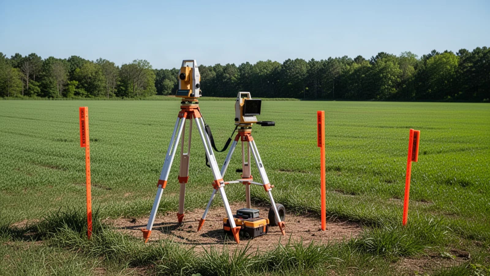
- Boundary survey (basic): $500-$1,500 for 5-20 acre parcels
- ALTA/NSPS survey: $1,500-$3,500 (most detailed, required by some title companies and lenders)
- Topographic survey: $1,000-$3,000 additional (shows elevation and drainage patterns)
Survey costs increase with acreage, terrain difficulty (dense brush, steep slopes), and the number of corners/features to locate.
Bottom Line
A survey is your proof of what you own. For any land purchase over $5,000, the $500-$2,500 survey cost is essential insurance against boundary disputes, acreage discrepancies, and unknown easements. Keep the original survey document — it's a permanent record of your property's legal boundaries.
Sources: American Land Title Association, American Congress on Surveying and Mapping, National Society of Professional Surveyors, Acre Dreams listing data August 2026.